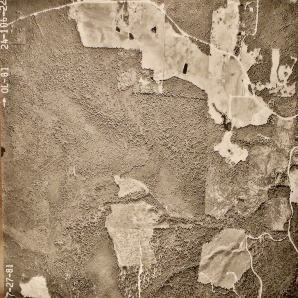
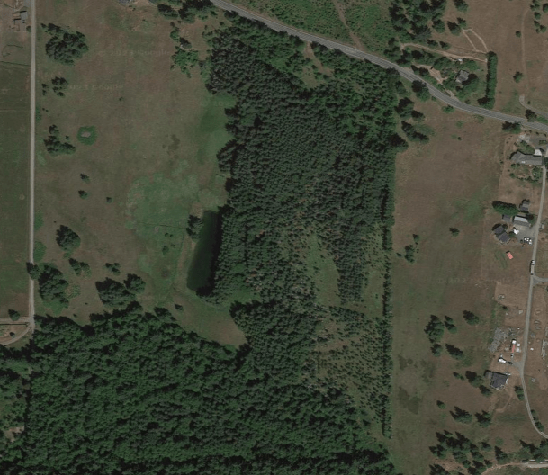
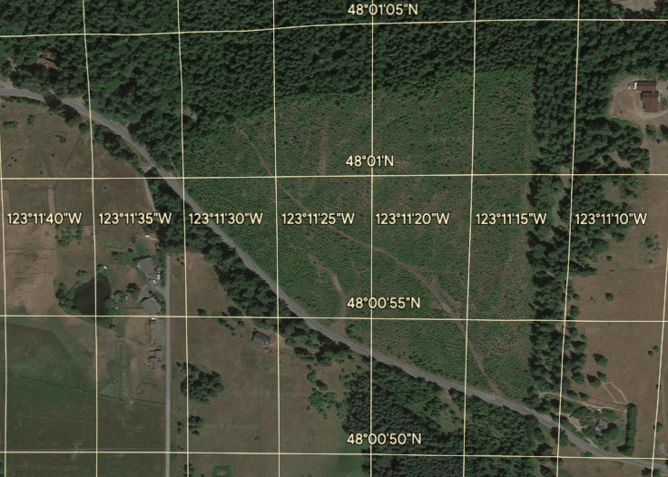
These maps give another perspective of Lost Mountain Tree Farm from government online map systems to airplane aerial views. The first maps show measurements of the property boundaries and location of government corner monuments. These monuments are cement markers that are permanent. They make it easy to survey the tree farm property lines.
When using a compass for surveying at the tree farm the Declination on the compass is:
15 degrees 37 feet East
East declinations require that you rotate the compass dial CLOCKWISE away from zero and set it there before viewing the line through the compass.